
King Barrow Ridge - Stonehenge - Carcus Walk
Dog walk in Salisbury, Larkhill
Type of walk
Flat
What's here
Free Parking, Off Lead Areas, On Lead Areas, Animals On Route
About this walk

Suggest an edit
What type of change would you like to suggest?
Description
Spot any walk info that seems off? Bark it our way! Your insights keep our doggy adventures accurate and tail-waggingly fantastic.
Location
Sniffed out a hiccup in our walk location? Wag your tails and share the scoop! Your details help us keep our adventures on the right track.
Nature Reserve
Think this walk belongs in nature reserve territory? Unleash your knowledge! Your tips help us guide fellow walkers and navigate any potential restrictions.
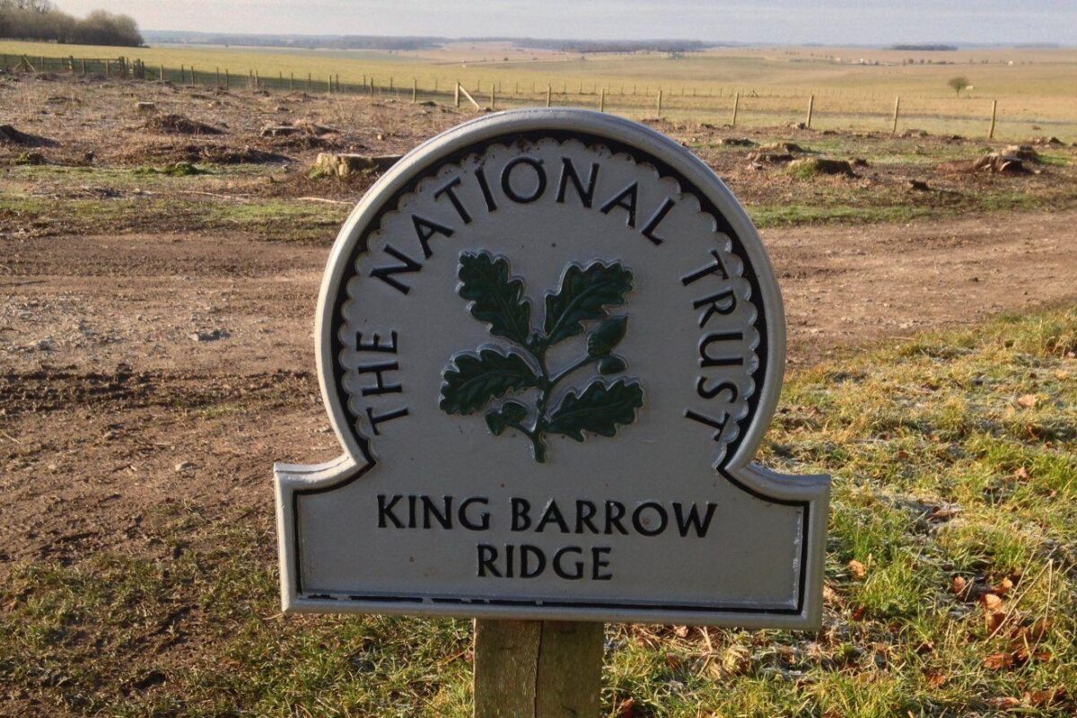
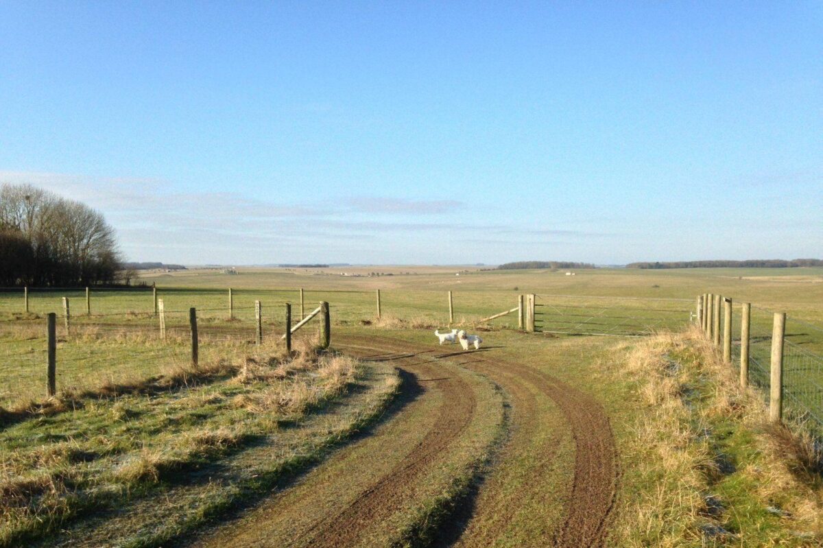
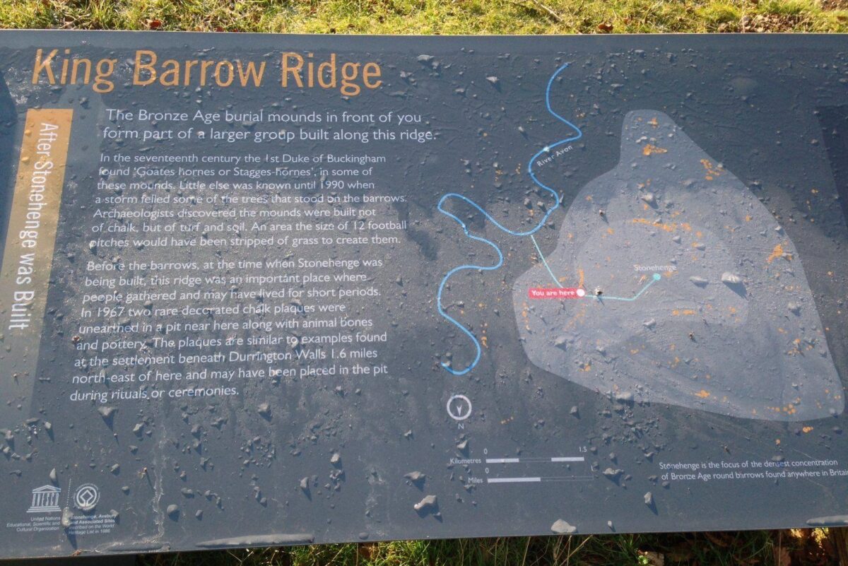
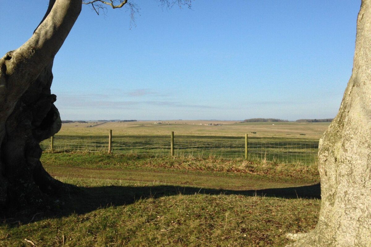
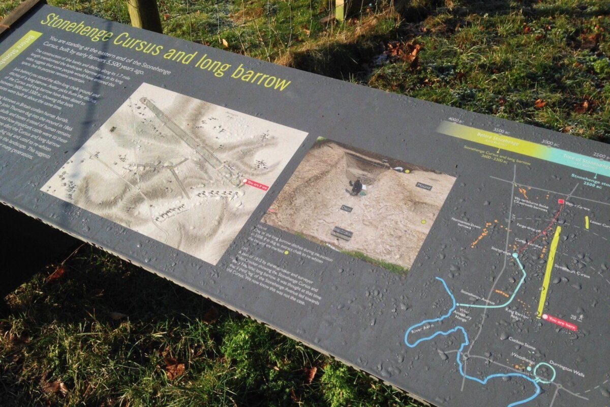
This is a circular walk of 3.5 miles around sites related to Stonehenge.
There are a variety of starting points along the route, but the suggested one is on the lane off of Fargo Road, Larkill (next to the electricity substation). You could equally park at 1/ the Stonehenge visitor centre car park [its free, even if you don't go in] or along Willoughby Road.
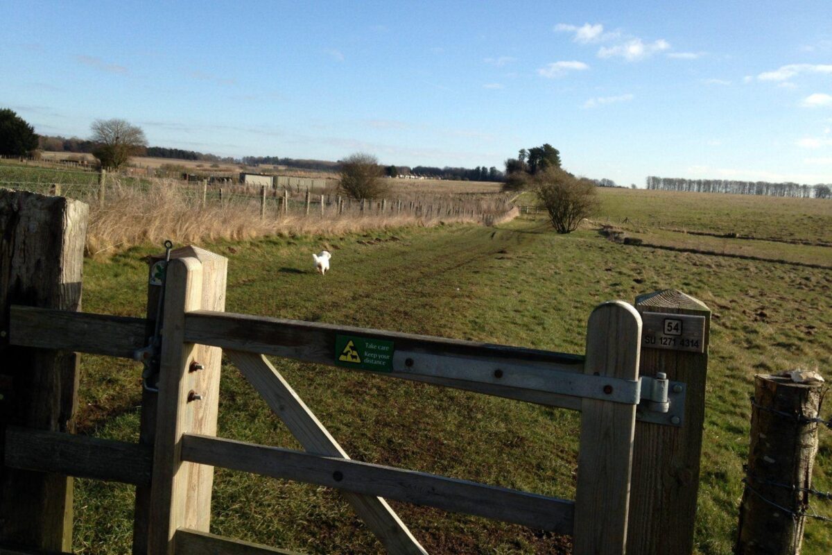
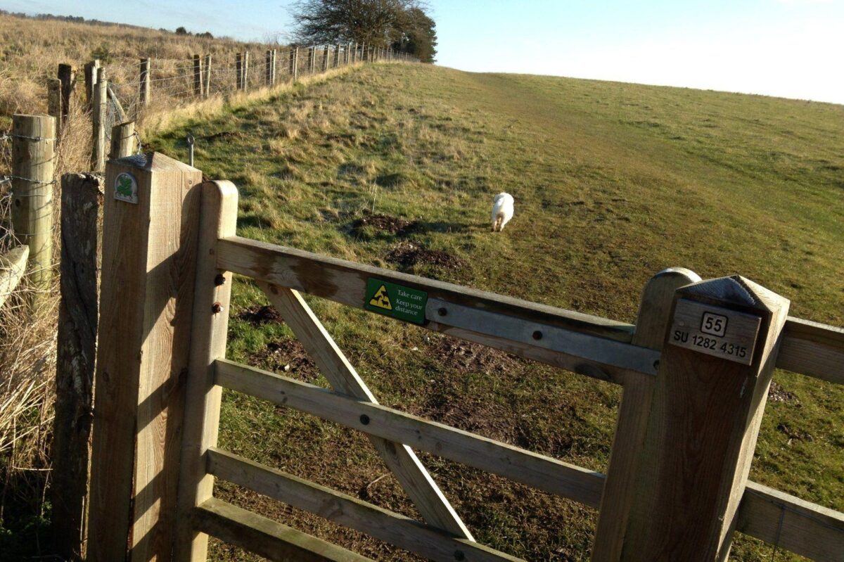
Its a flat walk with only gradual slopes. Some tracks, mostly across fields.
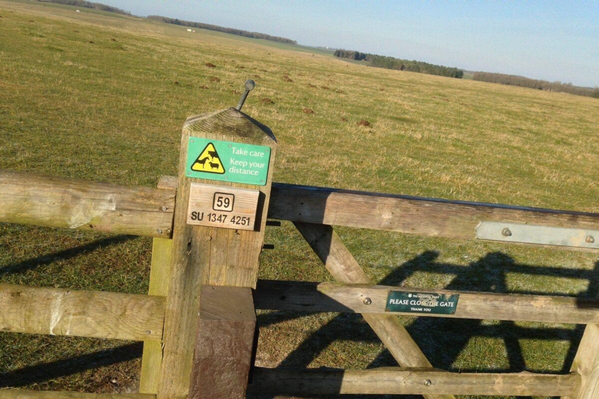
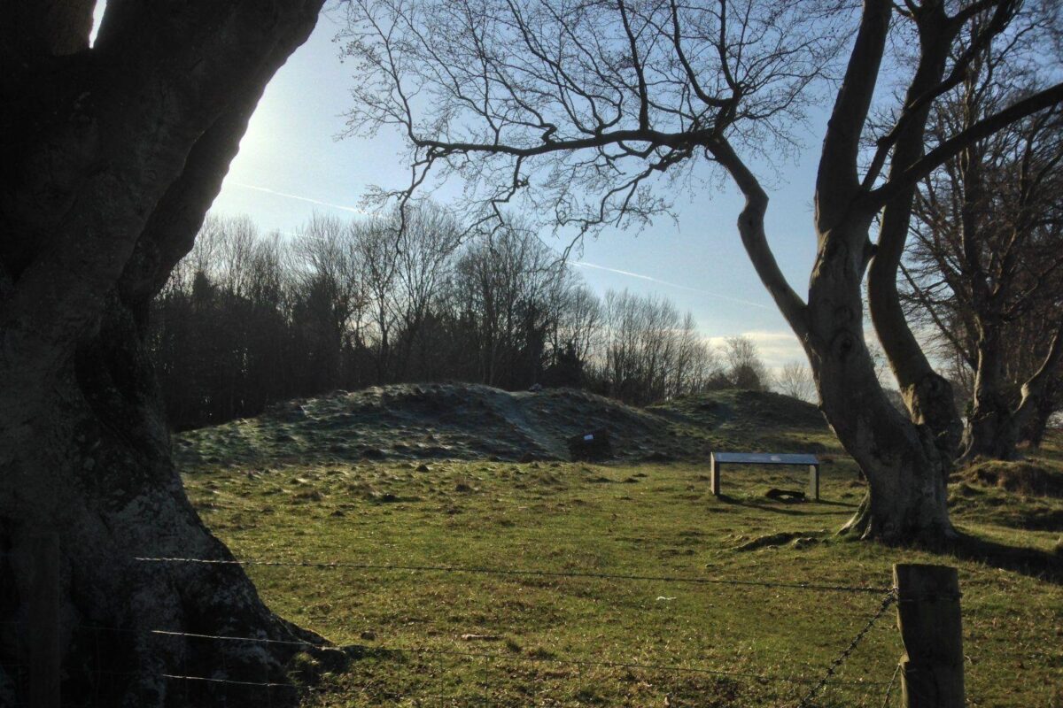
Postcode = SP4 8LN (Stangways, the substation is at the western junction between Strangways & Fargo Road)Bus = 106 stops at Strangways (West) next to the substationDistance = 3.5mDuration = 1h15Elevation = 276-375ft (var = 100ft)Footwear = Shoes are adequate usuallyDog mud factor = It doesnt tend to get muddy, but there are a couple of spots with slight mud, so light muddinessWeather = Generally exposed walk, so wrap up if windyViews = Great views of Stonehenge, the Curcus & King Barrow RidgeParking = free but no facilitiesAnimals = sheep often grazing in the enclosures here, so be prepared to hook up lead if needed.
Walk added by
Gallery
ClickTap to view full size
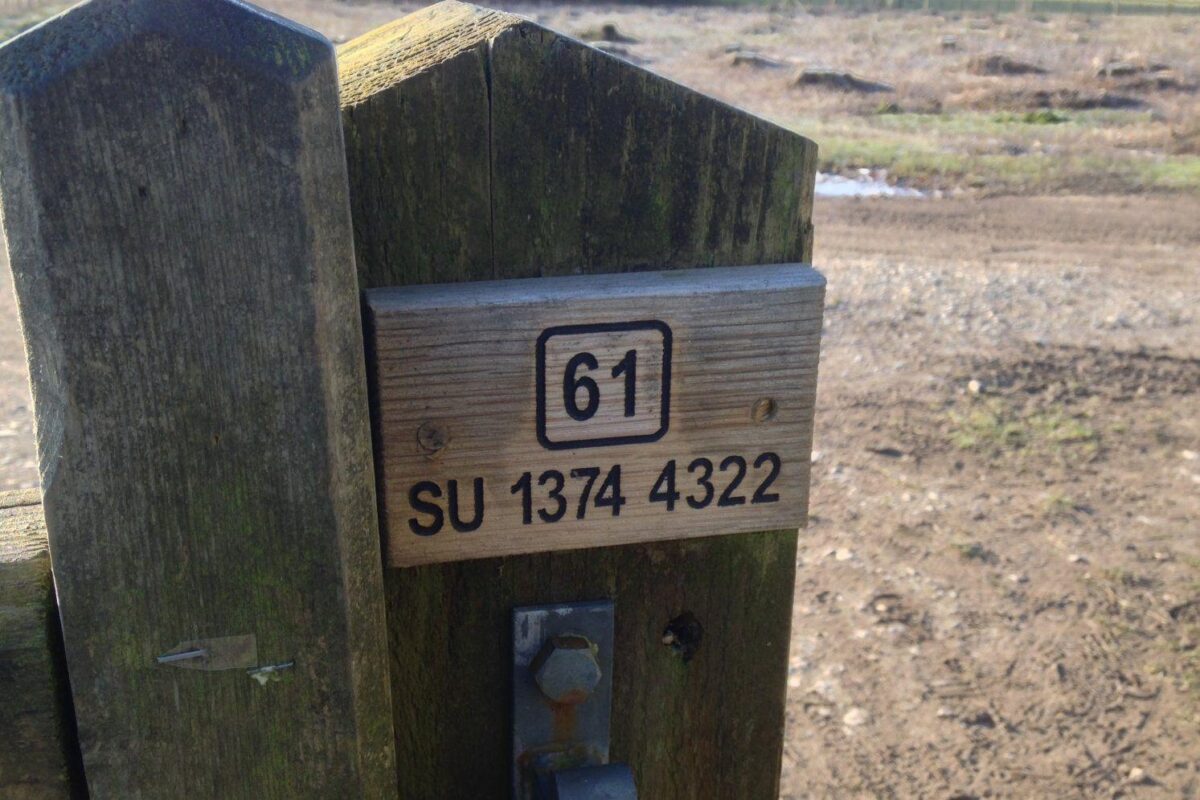
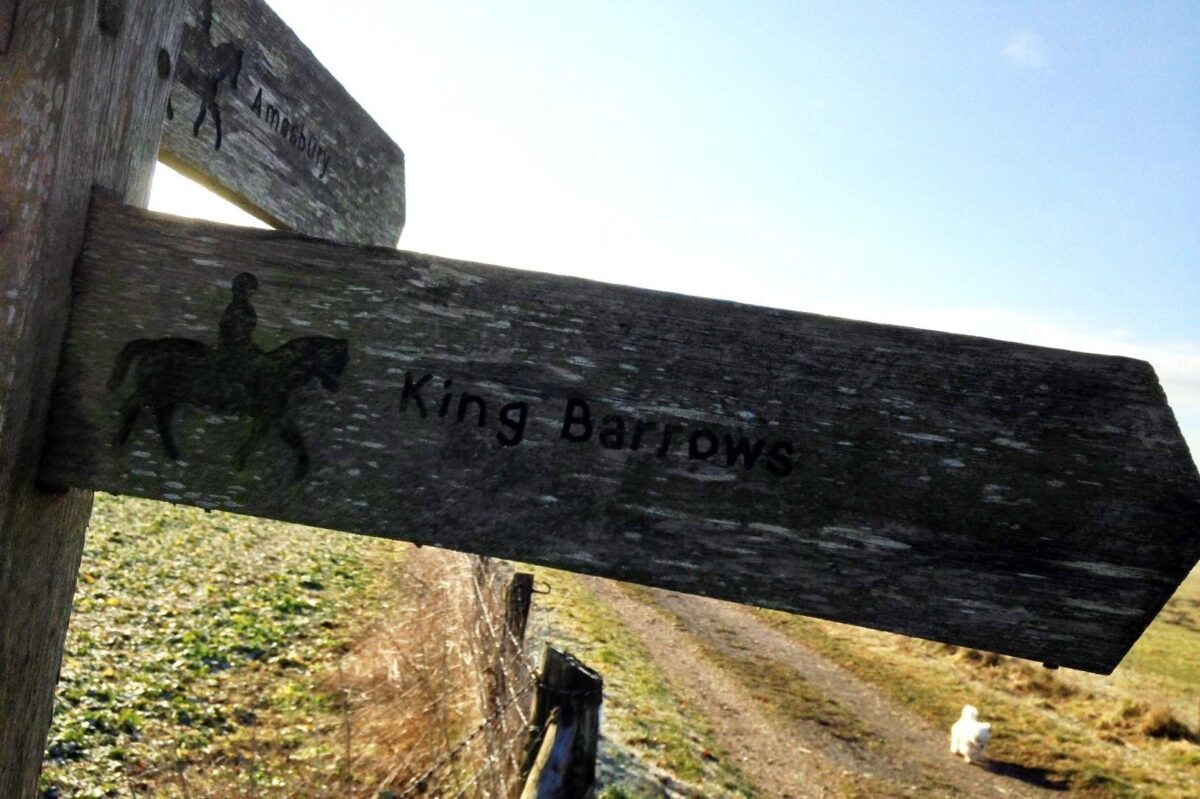
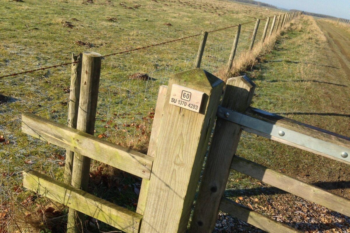
King Barrow Ridge - Stonehenge - Carcus Walk, Salisbury, Larkhill
Walk photos






Comments (6)
-
Tilly2
6 years ago
Lovely walk but not allowed in field if sheep grazing -
 DuDawgs
5 years ago
This has to be one of the best walks. Open fields and a fantastic view of Stonehenge. My advice.... take a picnic blanket and plenty of water for your doggies, and sit back and enjoy the view :) -
Vicfra00
5 years ago
I haven't used this site before but I can't see how to get this route? When I use the Google map link it says bad url? -
 walkiees
5 years ago
Hi Vicfra00, those google map links weren’t working so I’ve removed them for now. The walks are added by our members, so there is a varying degree of information on each one. At the least, they’re designed to give a ‘starting point’ for a walk. You’re probably best to follow the address provided (next to the map). We’re working on some new features that will help this in the future. 👍 -
 Wyld&Grace
5 years ago
Hi, I'm new here and setting off from Northamptonshire to visit for a day of dog walking and want to make sure I find the a place to park and the route! I'll be on my own! Can I ask - the picture of the car parked up, is that where the postcode is supposed to take you to (industrial looking place?) and once there, will the tracks be sign-posted? I'm VERY green at this and a little nervous to drive all that way and get lost! If anyone local fancies a walk, let me know!!..😂 -
 RidleyandAlfie
2 years ago
Unfortunately the National Trust have recently made this whole area dog-free, as I discovered last week when we went to do the loop, even the areas where no livestock….
Join the pack
Share your feedback or ask a question and be a part of the chat about this walk.
Log in to commentNot a member? Create a free account
How to get there
Address
52 Fargo Rd, Larkhill, Salisbury SP4 8LL, UK View on Google
what3words address
///tolerates.convinces.chess View on w3w
Location details
Lane alongside electricity substation at the junction of Stangways & Fargo Road, Larkill. Adjacent bus stop (Strangways West)
Nearby dog walks

Salisbury
Loop walk by Salisbury Rugby Club and Victoria Park
Hilly, Flat, Forest, Park·Dog walk

Join the pack. It's free.
Become a member with over 50,000 other dog owners. Save dogs walks, add comments, get exclusive offers and add your own dog walks for others to enjoy.
Join the packAlready a member? Log in
Log in
Not a member yet?
Create a free account


