The Crown Stirrup Pub Circular Forest Walk
Dog walk in Lyndhurst
Type of walk
Flat, Forest
What's here
Free Parking, Off Lead Areas, On Lead Areas, Pathed Routes, Toilets, Refreshments Available
About this walk

Suggest an edit
What type of change would you like to suggest?
Description
Spot any walk info that seems off? Bark it our way! Your insights keep our doggy adventures accurate and tail-waggingly fantastic.
Location
Sniffed out a hiccup in our walk location? Wag your tails and share the scoop! Your details help us keep our adventures on the right track.
Nature Reserve
Think this walk belongs in nature reserve territory? Unleash your knowledge! Your tips help us guide fellow walkers and navigate any potential restrictions.
3 kilometres (about 2 miles). Mainly on level ground, but with a single, gentle gradient
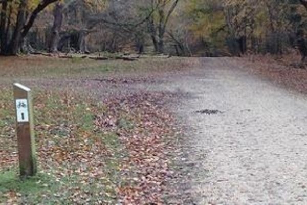
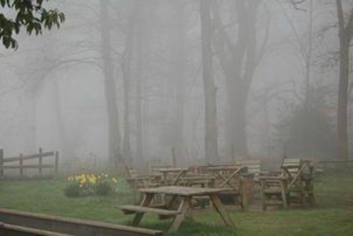
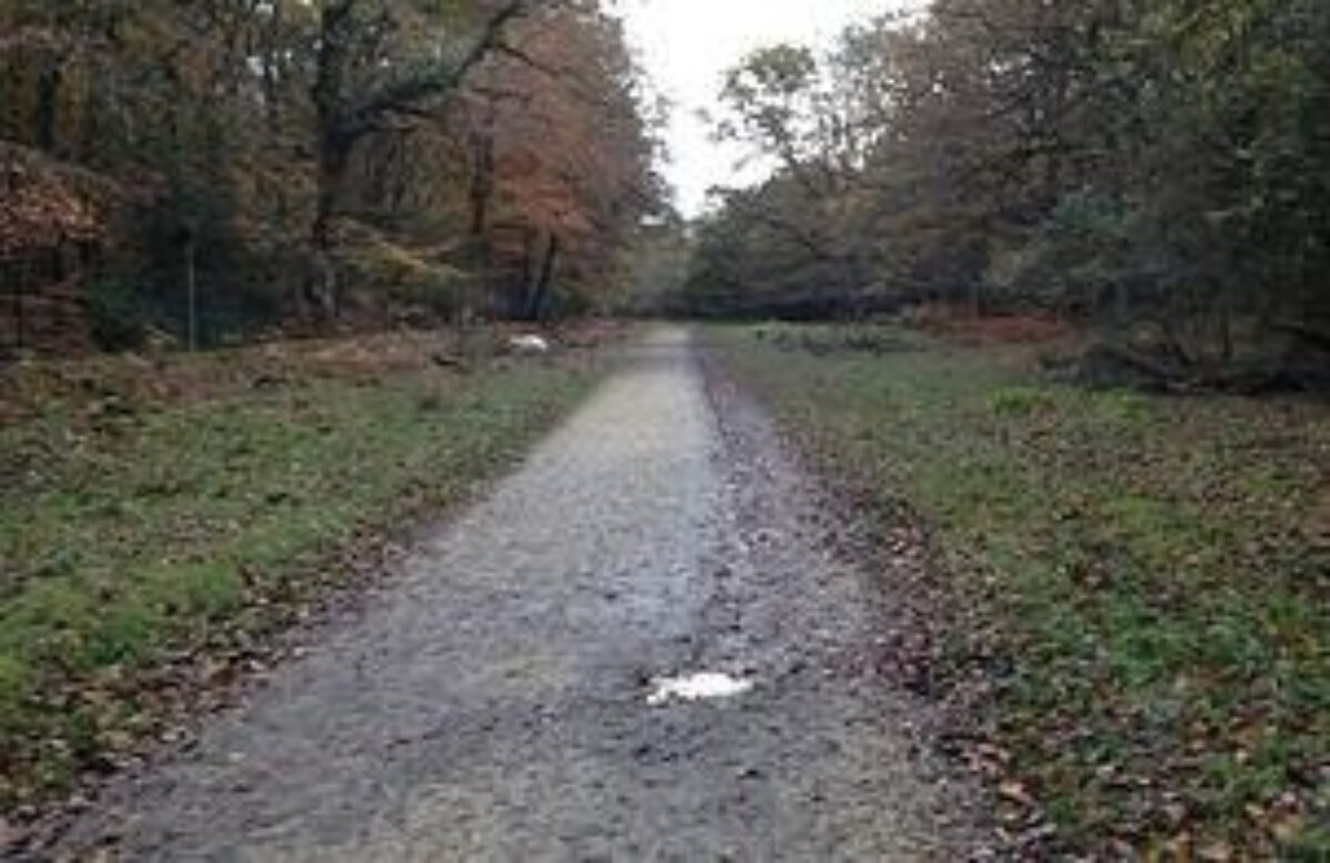
1. Walk through the gate at therear of The Crown Stirrup garden and Turn left and continue around thewoodlands atClayhill. At the wide Forestry Commission vehicle gate across the gravel track leading right, carry straight on through a gate leading into Pondhead Inclosure. After just over 0.5 kilometres, a ‘Y’ junction is reached - follow the fork to the left. After a short distance, pass on the right an area of actively managed hazel coppice, and on the left a recently clear-felled area of conifers. Pass a grassy ride on the right leading between the hazels, and a little way further on, a more pronounced right turn. Cross a small bridge over a stream, leave the woodland through a narrow gate, and reach the Beaulieu Road, close to The Ravens, a property recalling in name that once-lost New Forest bird, and the appropriately named Ridge House. Cross the road and follow a quite wide path running almost straight ahead up the gorse-clad hillside leading to The Ridge, on White Moor.Notice as the top of the hill is reached the path intersects the wasted bank and ditch of the Park Pale. Notice also, to the left, the tall spire of Lyndhurst Parish Church, and beyond, the white-washed walls of Northerwood House on the hill at EmeryDown.At the top of the hill, turn left to follow the path towards Bolton’s Bench, past the village’s late 19th century cemetery, and beyond, back to Lyndhurst High Street.Turn left on Lyndhurst High Street south along Gosport Lane until Goose Green is reached. Take the left fork towards Brockenhurst, and beside Foxlease Bridge, pass the site of the now-demolished turnpike cottage and continue to the Crown Stirrup for a well earned refreshment.
Walk added by
Gallery
ClickTap to view full size
The Crown Stirrup Pub Circular Forest Walk, Lyndhurst
Walk photos


Comments (1)
-
donutluvva
6 years ago
Lovely walk through the forest but the last half a mile or so is along a very busy and noisy road and in places on a very narrow footpath so this makes it quite unsuitable for dogs even on leads. Best thing to do would be get to Lyndhurst and then just reverse the walk :)
Join the pack
Share your feedback or ask a question and be a part of the chat about this walk.
Log in to commentNot a member? Create a free account
How to get there
Address
6 Clay Hill, Lyndhurst SO43, UK View on Google
what3words address
///allies.scrubber.trickle View on w3w

Join the pack. It's free.
Become a member with over 50,000 other dog owners. Save dogs walks, add comments, get exclusive offers and add your own dog walks for others to enjoy.
Join the packAlready a member? Log in
Log in
Not a member yet?
Create a free account


